Landscape
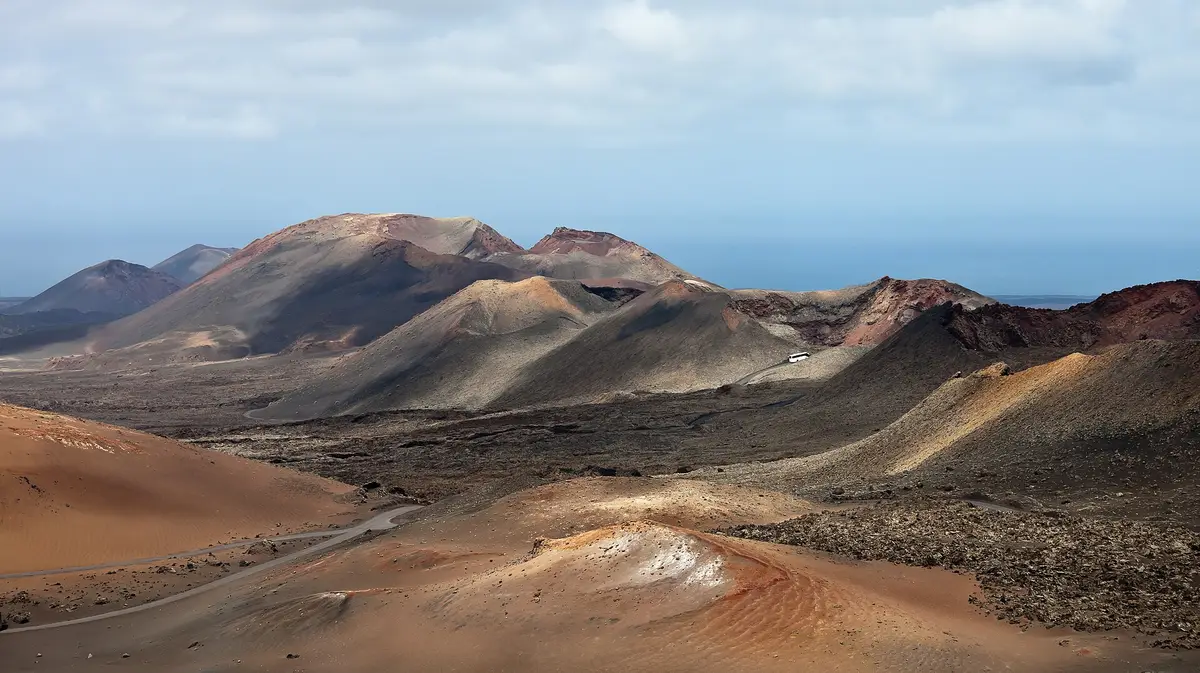
Timanfaya National Park
Tour a landscape formed by historic eruptions, where underground heat still turns water into steam
The Canary Islands
Lava fields, carefully adapted farmland and a mostly rocky coast shape Lanzarote beyond its resorts. Understanding how these landscapes fit together makes planning a first visit more useful than simply collecting attraction names.
Start here
Lanzarote is a volcanic island in Spain's Canary Islands, where the landscape is more than a backdrop to a beach holiday. Eruptions transformed farmland and villages, while later generations found ways to cultivate volcanic ground and build within it. Much of the coastline is rocky rather than sandy, so a beach-led stay means choosing your base deliberately. The island suits visitors who want time by the sea alongside geology, art and an understanding of how people live with dry conditions. Its resorts offer a different starting point from the capital and villages; none alone gives the full picture.
From north to south, Lanzarote measures 60 km, compared with 25 km from west to east. That elongated shape is a useful starting point for planning, rather than assuming every attraction belongs in the same outing. Arrecife, the capital, lies on the eastern coast; San Bartolomé occupies the centre, and Teguise sits in the north-central interior. Farther north, Haría's municipality contains the lava caves of Jameos del Agua and Cueva de los Verdes, as well as Mirador del Río. The west and southwest bring the volcanic terrain of Timanfaya National Park, spanning parts of Tinajo and Yaiza. Playa Blanca marks the southern end of the island. Think in geographical groups: northern caves and viewpoints, western volcanic landscapes, and time around your chosen coastal base. These are different ways of experiencing the island, not interchangeable sightseeing stops.
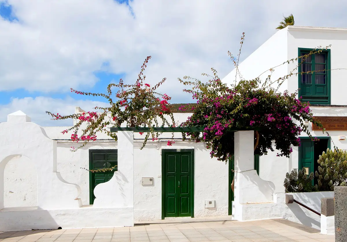
Before comparing accommodation, decide what you want the place outside it to be. Puerto del Carmen is Lanzarote's main tourist town, with an economy closely tied to visitors. Costa Teguise was deliberately planned for tourism, while Playa Blanca is the southernmost town and the island's newest resort. Those distinctions matter more than trying to identify a single best place to stay. Arrecife offers the context of an island capital rather than a resort, with Castillo de San José combining a historic fortress and art museum. Inland villages give another perspective, but a village name is not a substitute for checking the practicalities of an individual stay. For a first visit, the useful question is how much of the holiday should happen around your accommodation, and how much should involve seeing elsewhere.
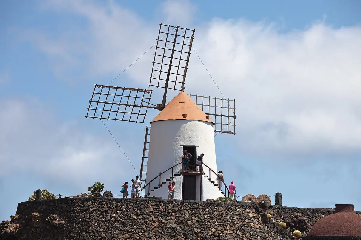
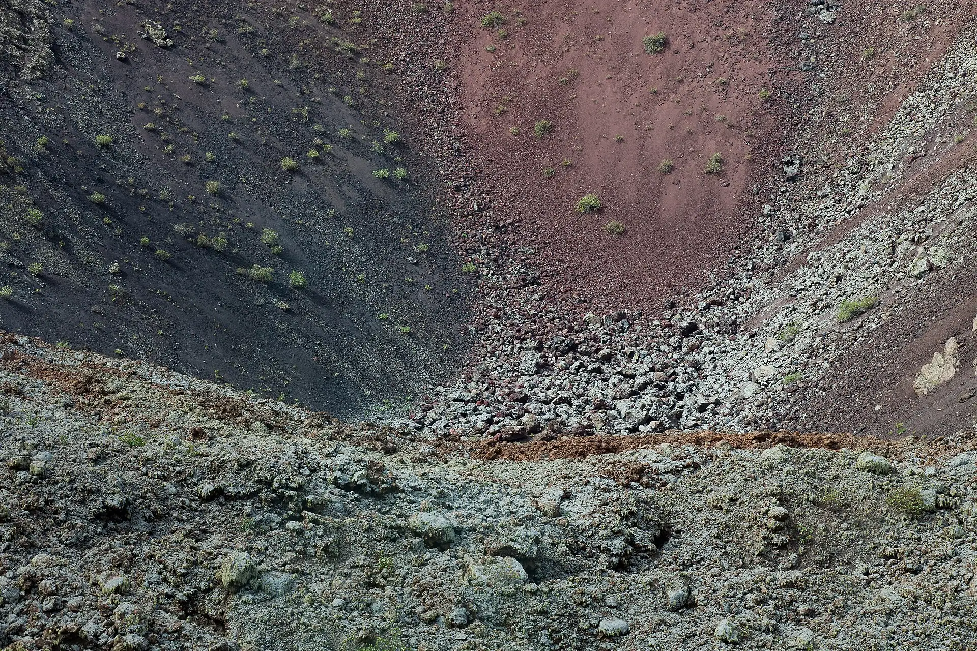
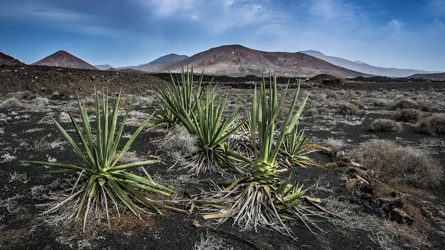
What can initially look like bare ground becomes more interesting when you notice how it is used. At La Geria, vines grow in hollows formed in volcanic lapilli, protected by small dry-stone walls. The surface layer reduces moisture loss, while the hollows and walls shelter plants from wind. This is working agricultural land shaped by difficult conditions, not simply an unusual view. César Manrique's projects offer a related way of reading the island: architecture designed to respect its landscape rather than disregard it. Jameos del Agua brings gardens, cultural spaces and a subterranean salt lake into a series of lava caves. Jardín de Cactus occupies a former quarry whose volcanic material was extracted to help cultivated ground retain moisture. Seeing these places alongside the volcanic terrain gives a visit continuity: geology, farming and design are closely connected here.
What to see
Timanfaya National Park, Jameos del Agua and La Geria sit alongside museums and viewpoints in this selection. The individual pages help you decide which places belong in your plans.
Tour a landscape formed by historic eruptions, where underground heat still turns water into steam
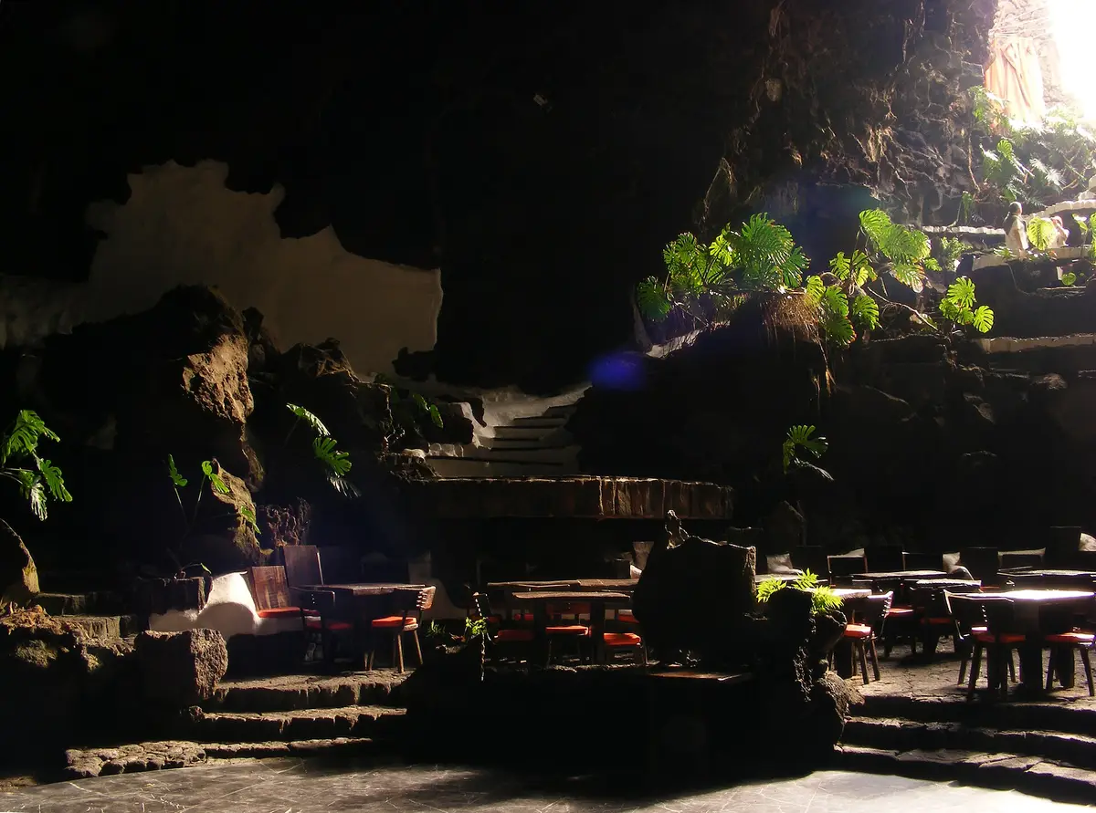
A subterranean salt lake and lava openings form the setting for César Manrique's cultural centre
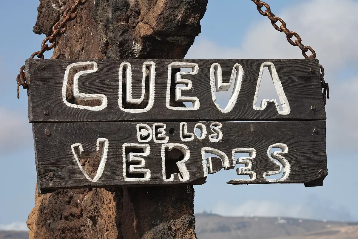
Enter a drained lava tube with illuminated cave walls and a concert hall near its entrance
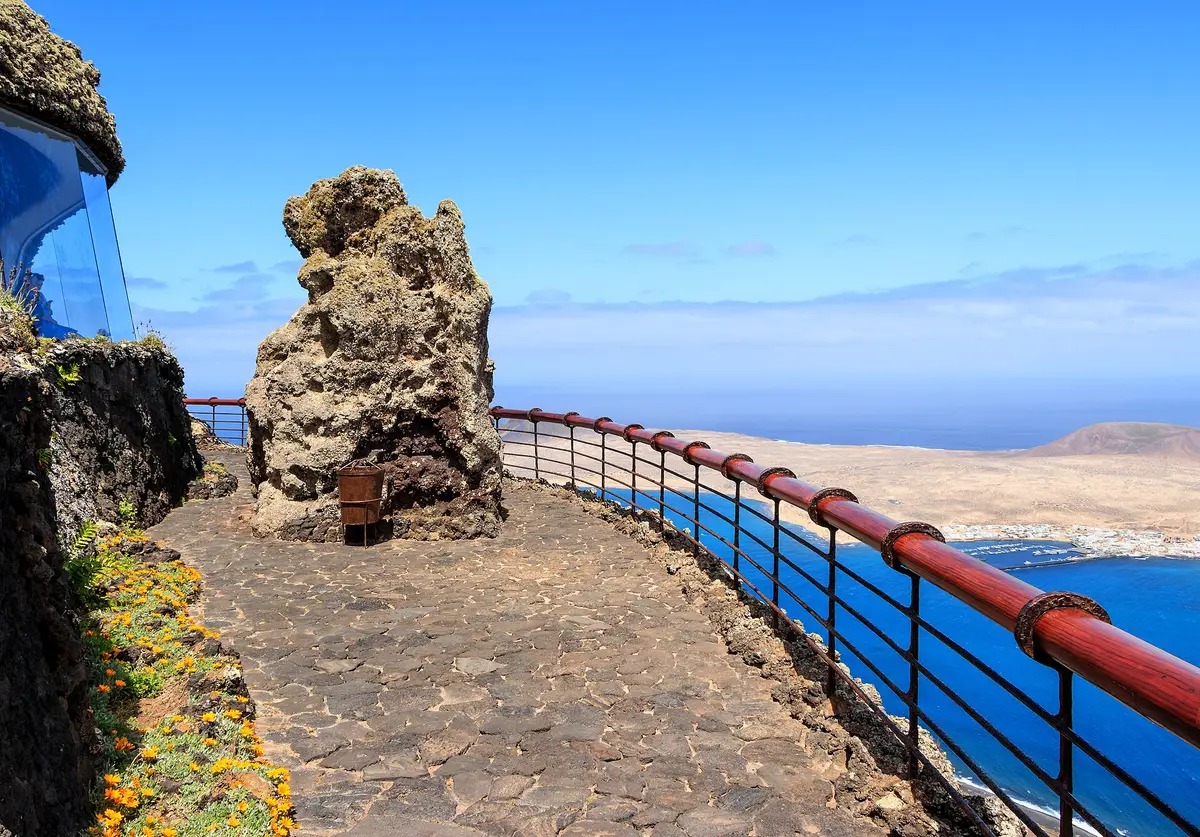
A stone-covered viewpoint with vaulted rooms and broad windows facing La Graciosa
The foundation continuing César Manrique's conservation work on Lanzarote
Getting around
For planning journeys, geography is more useful than the island's compact appearance on a map. Its 60 km north-south length gives northern visits a different focus from days around Yaiza and the southwest. Grouping Jameos del Agua, Cueva de los Verdes and Mirador del Río as northern interests provides a starting point, rather than a promise that they should all fit into an outing. Timanfaya National Park and the wider Yaiza area form another geographical group. Beyond Lanzarote itself, access to La Graciosa is from the pier at Órzola in the north. Treat that sea crossing as a separate part of the travel plan, not as another stop on a mainland circuit.
Coast
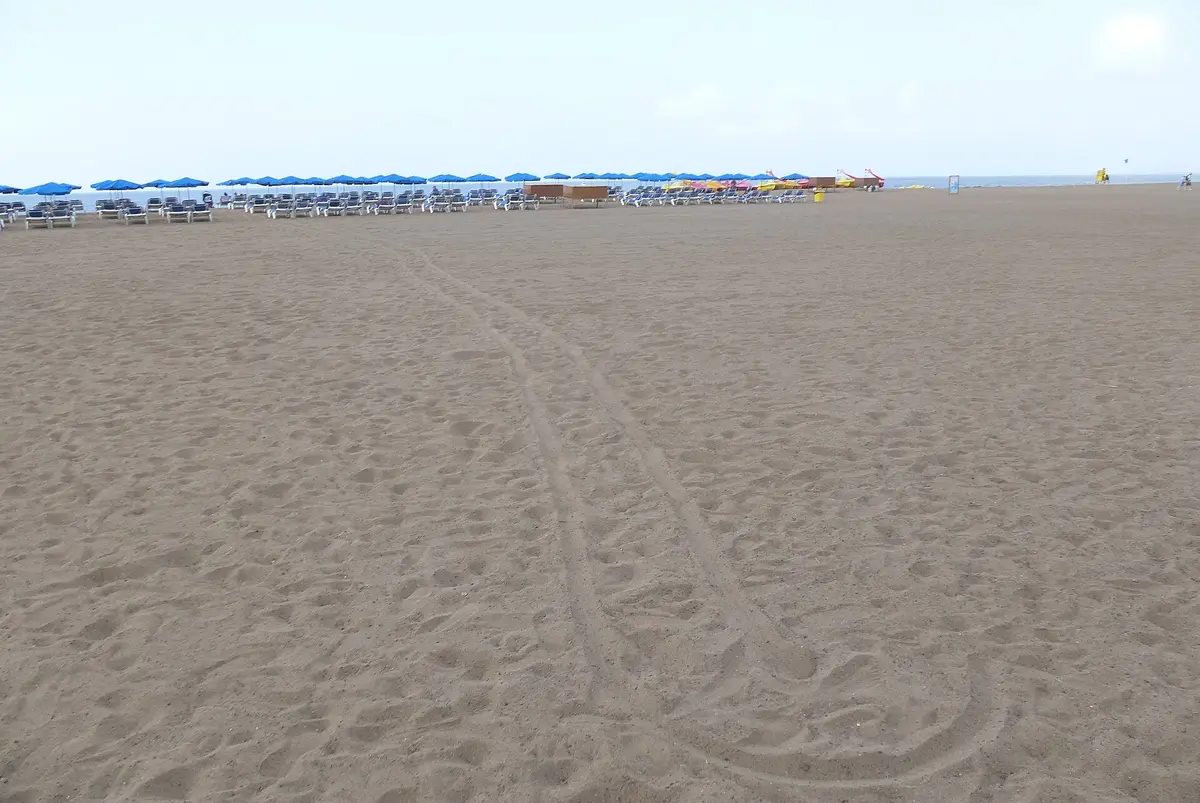
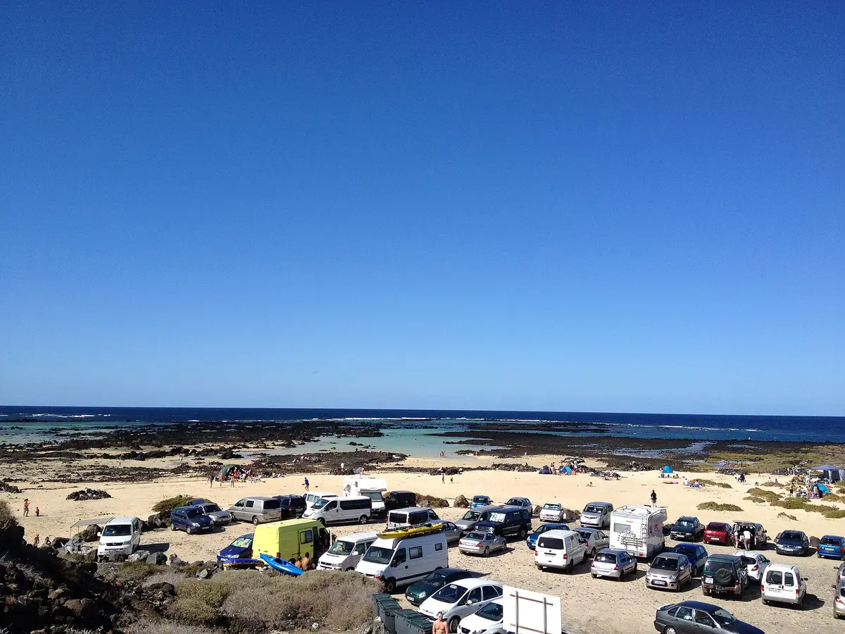
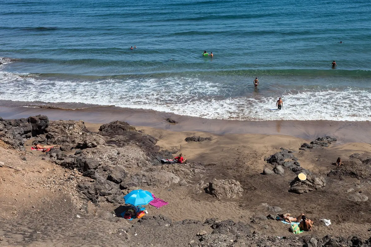
A beach day might mean Playas de Papagayo, Playa de Famara or Caletón Blanco. These pages give each beach its own space, rather than treating the coast as interchangeable.
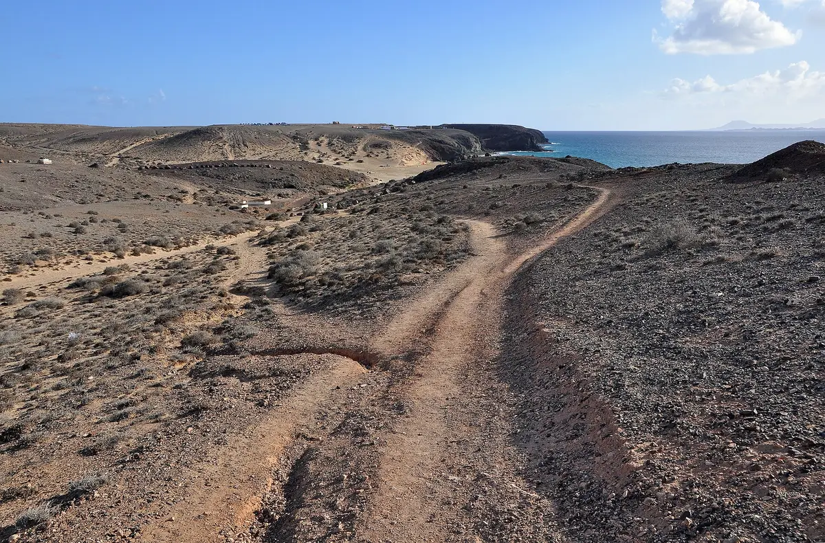
Sandy coves divided by high cliffs, reached by dirt road or a coastal walk from Playa Blanca
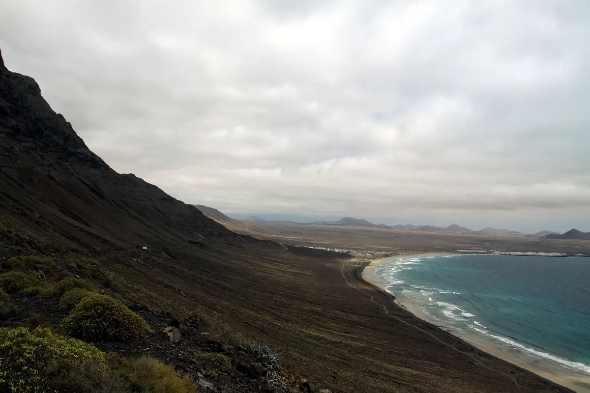
Sand, volcanic pebbles and surf beneath cliffs left by an ancient volcanic caldera
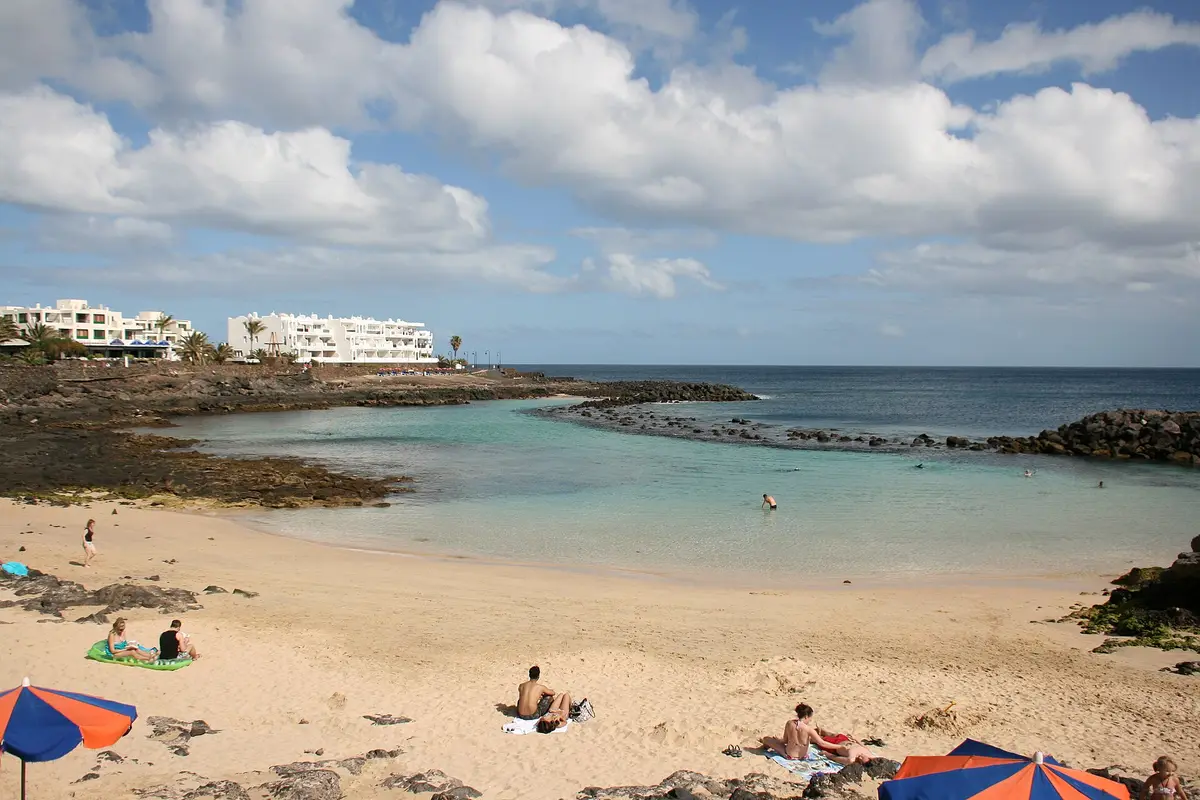
A sandy, breakwater-sheltered cove with lifeguards and water sports east of Playa Blanca’s centre
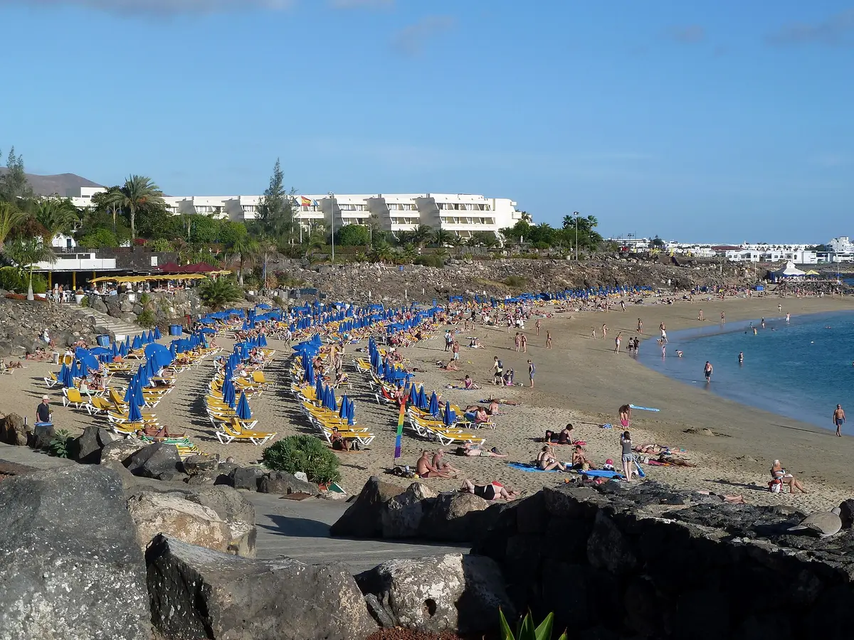
A beach day in Puerto del Carmen, with restaurants, shops and the resort seafront close at hand
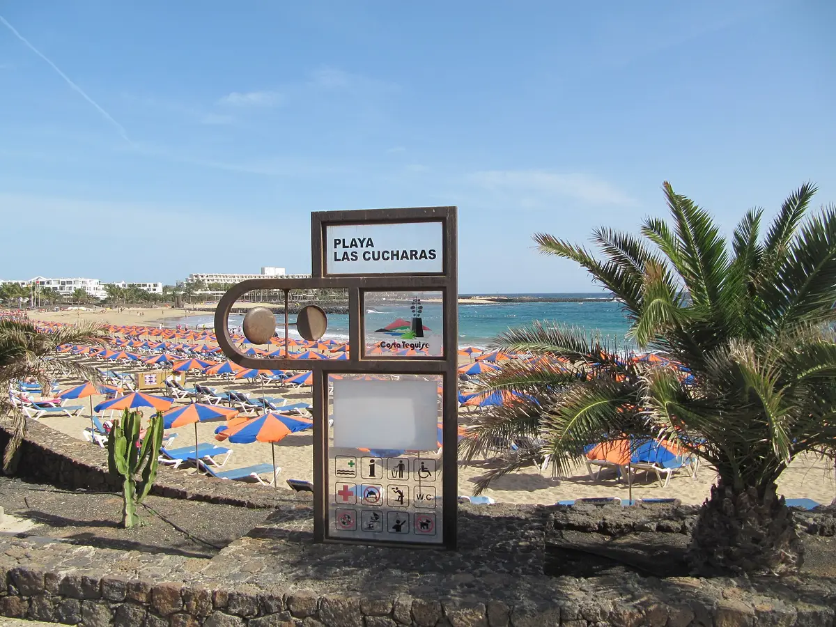
A beach in Costa Teguise, where the surrounding town was planned for tourism from the outset
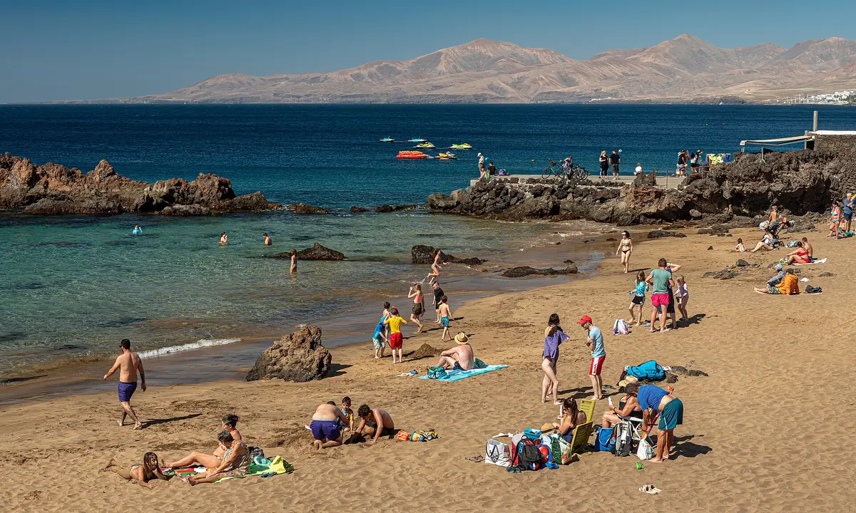
An old-town beach in Puerto del Carmen with over 10 dive sites accessible from shore and boat
Where to base yourself
From Arrecife to Haría, the town and village pages cover more than possible places to stay. They also give you places to consider visiting while staying elsewhere on the island.
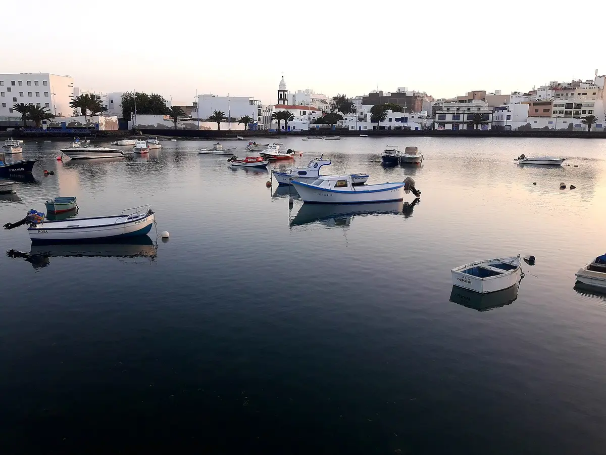
Lanzarote's working capital has a fishing lagoon, coastal fortresses, modern art and a town beach
Long sandy beaches and a restaurant-lined promenade stretch east from a former fishing harbour
Sheltered swimming beaches, a seafront promenade and an underwater sculpture collection on Lanzarote's southern coast
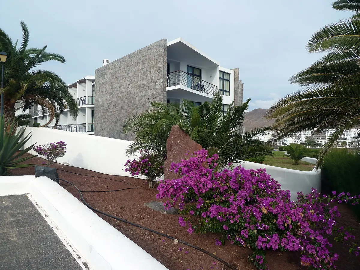
A purpose-built coastal resort where the streets and services arrived before the buildings
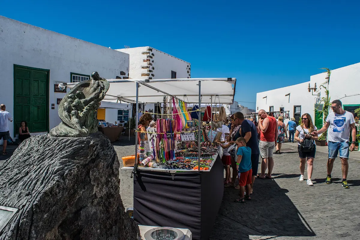
Lanzarote's former capital has stone-framed doorways, a Sunday street market and a castle above the rooftops
Palm trees, César Manrique’s home and studio, and a village base for Lanzarote’s volcanic north
Timing
August is the hottest month and January the coolest, but sea temperatures follow a different rhythm. September has the warmest average sea in the table; June is the driest month.
| Month | Day | Night | Sea | Days with rain | Sunshine |
|---|---|---|---|---|---|
| January | 18.4 C | 15.7 C | 18.8 C | 3 | 5.6 h |
| February | 18.5 C | 15.5 C | 18.1 C | 2 | 6.1 h |
| March | 19.1 C | 15.9 C | 18.1 C | 2 | 6.8 h |
| April | 19.8 C | 16.6 C | 18.6 C | 1 | 6.8 h |
| May | 20.9 C | 17.7 C | 19.5 C | 0 | 7.3 h |
| June | 22.4 C | 19.3 C | 20.6 C | 0 | 7.8 h |
| July | 23.7 C | 20.5 C | 21.5 C | 0 | 8.9 h |
| August | 24.7 C | 21.5 C | 22.3 C | 0 | 8.6 h |
| September | 24.6 C | 21.5 C | 22.9 C | 0 | 7.7 h |
| October | 23.4 C | 20.5 C | 22.6 C | 2 | 6.3 h |
| November | 21.3 C | 18.6 C | 21.4 C | 2 | 5.4 h |
| December | 19.6 C | 16.9 C | 19.9 C | 4 | 5.5 h |
The island
![500px provided description: OLYMPUS DIGITAL CAMERA []](https://commons.wikimedia.org/wiki/File:Volcano_Landscape_Lanzarote_(65484655).jpeg)


Before you book
September suits a trip prioritising warmer seawater, while August has the highest average daytime temperature. September's sea average is 22.9 C, compared with 18.8 C in January. January is the coolest month, with an average daytime high of 18.4 C. Summer rainfall is rare; December is the wettest month. These are averages, not promises about individual days.
Not entirely: Lanzarote has named beaches, but most of its coastline is rocky and its volcanic interior is central to its character. A beach holiday can work well, but choosing a particular stretch of sand matters more than simply choosing somewhere coastal. Time among lava landscapes, cultivated volcanic ground and Manrique's projects gives a broader sense of the island.
They are different places: Teguise is a village in the north-central part of Lanzarote, while Costa Teguise is a coastal resort within the municipality of Teguise. The shared name can blur an important accommodation choice. Staying in the village means choosing an inland setting; Costa Teguise was specifically planned and built to accommodate tourism.
Yes, La Graciosa is accessible from the pier at Órzola in northern Lanzarote. It is a separate volcanic island north of Lanzarote and part of the Chinijo Archipelago. That makes it a different proposition from an outing around Lanzarote itself: the crossing needs to be part of your plan, rather than treating it as another coastal village.
Winter brings mild average daytime temperatures, cooler seawater and more rain than summer. January's average daytime high is 18.4 C, with nights averaging 15.7 C and the sea 18.8 C. December is the wettest month, averaging 4 days with rain. For a first visit, that favours balancing beach time with landscape and cultural visits rather than relying entirely on swimming.
Month pages bring together daytime highs, night temperatures, sea temperatures, sunshine and rain, so you can weigh beach days against the conditions you prefer for exploring.