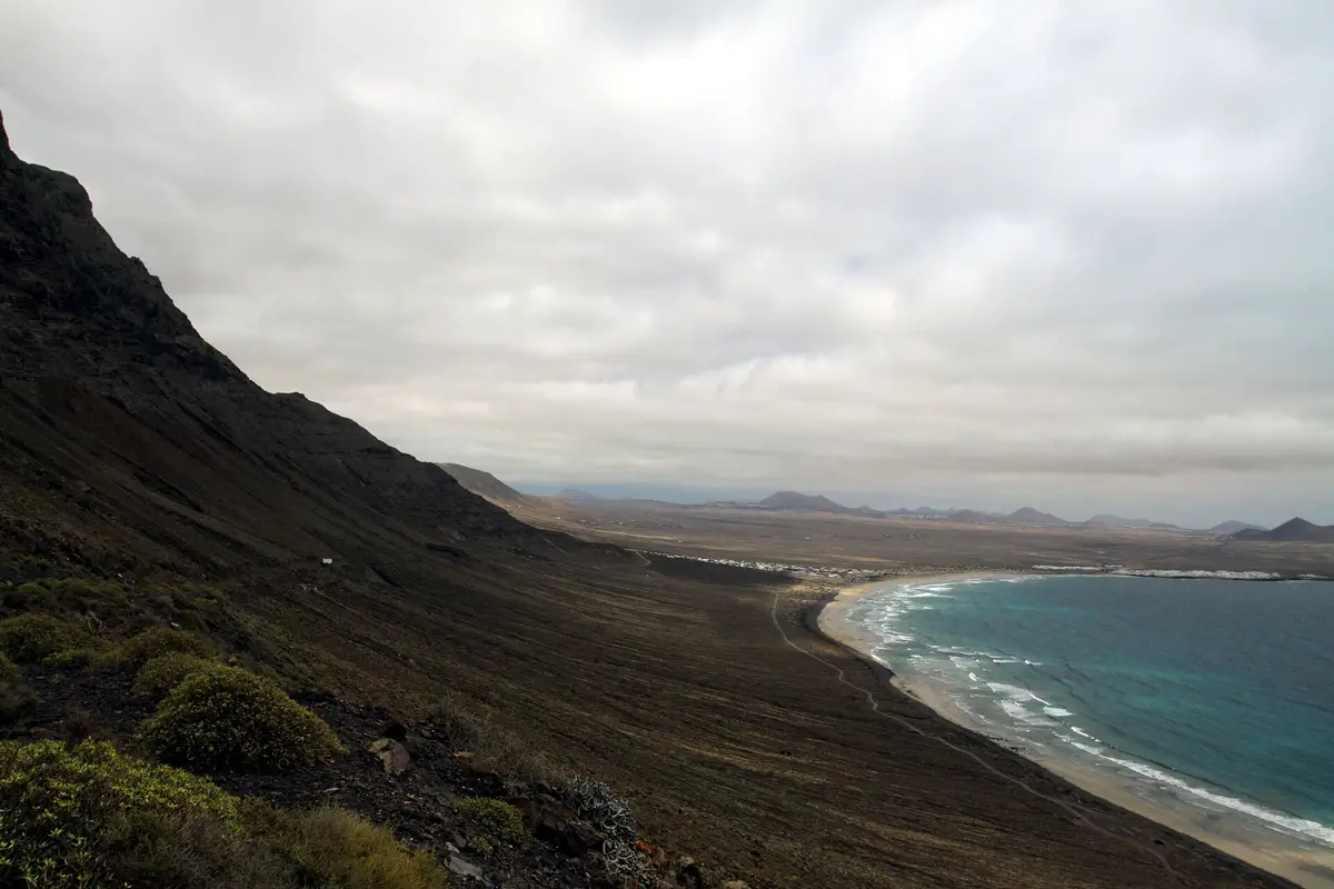
Below the Famara cliffs, Playa de Famara stretches for two kilometres along an Atlantic-facing shore. Sand mixes with volcanic pebbles, and the beach's exposure makes it suitable for surfing. People come for the surf and the cliff-backed setting, with the seaside village of Caleta de Famara beside the beach.
Planning a whole day from a base nearby? See things to do in Costa Teguise.
Sand, surf and the village
Playa de Famara lies south of the cliffs, with a shoreline made up of sand and volcanic pebbles rather than sand alone. Its two-kilometre length gives a beach walk a different focus from a visit centred on surfing: the mixed beach surface, the open sea and the cliffs behind it are the main features. Caleta de Famara is the seaside settlement developed here as a resort, within the municipality of Teguise.
The beach faces the Atlantic Ocean, an orientation that makes it suitable for surfing. That exposure is central to its character, but suitability for surfing should not be confused with sheltered swimming conditions. Anyone planning to enter the water needs to assess conditions on the day rather than assume a sandy beach means calm water.
Currents also bring a less welcome feature. The beach accumulates waste carried from the North Atlantic garbage patch. Marine litter is therefore an environmental issue here, not simply rubbish left behind by beachgoers, and the shore should not be expected to remain free of washed-up debris.
The cliffs behind the beach
The cliffs above Playa de Famara are remnants of a volcanic caldera about ten kilometres in diameter, centred south of La Graciosa. Famara forms the eastern slope of a volcano that erupted in the Miocene, and is the main mountainous massif in northern Lanzarote. Its highest point is Peñas del Chache, at 671 m. From the beach, the cliff face is the visible part of a much larger volcanic structure, rather than an isolated coastal wall.
North of the beach, cliffs close off the coast and prevent vehicle access. The coastal plain at their foot supports about ten endemic plant species, with isolation lasting more than a million years helping those plants develop. The geological setting and the plant life are closely connected: this is an isolated stretch of coast as well as a volcanic landform.
All the Famara cliffs and their coastline lie within the natural park of the Chinijo Archipelago. A beach visit therefore places you beside a protected coastal landscape, not just at the edge of a seaside resort. The northern shoreline is not somewhere to plan a drive along the water's edge.
What makes Famara different
The combination of a sandy surfing beach and a mountainous volcanic backdrop defines Playa de Famara. The cliffs are not a distant feature beyond the resort: the beach sits immediately south of them, with Caleta de Famara at the seaside. This gives a visit distinct elements without requiring a long list of attractions - the beach surface underfoot, the Atlantic-facing water and the caldera remains above the coast.
The volcanic pebbles are a useful detail to notice among the sand. They connect the beach's immediate texture with the much larger volcanic landscape behind it. Further north, the coastline becomes inaccessible to vehicles, marking a clear change from the developed seaside settlement to the cliff-bound shore.
For a beach day, surfing is the activity specifically associated with Famara's orientation. For a visit spent out of the water, the main interest is the relationship between beach, village and cliffs. It is this exposed coastal setting, rather than a named building or beachfront attraction, that gives the place its identity.
Planning time on the shore
A visit to Playa de Famara can centre on the water or remain entirely on land. Surfing makes use of the beach's Atlantic exposure, while a walk follows a shore of sand interspersed with volcanic pebbles. The two-kilometre beach provides the main continuous stretch to explore; the cliff-bound coast to the north is not a continuation suitable for a coastal drive.
Caleta de Famara is the settlement associated with the beach, and both sit within Teguise municipality. That distinction matters when identifying the destination: the beach is beside Caleta de Famara, rather than in the town of Teguise itself. The village and shore belong to the same seaside setting, with the massif rising behind them.
Conditions at an exposed beach deserve attention before entering the water. The fact that Famara is suitable for surfing does not establish that it is suitable for every swimmer or every level of surfing experience. A shore-based visit still offers the beach's principal sights: volcanic pebbles, open water and the surviving walls of the ancient caldera.
What to look for
- Walk the sandy shoreline and look for volcanic pebbles underfoot
- See the Famara cliffs rising behind the beach
- Surf the Atlantic-facing beach when conditions suit your ability
- Explore the seaside setting of Caleta de Famara
- Look at cliff faces left by an ancient volcanic caldera
Playa de Famara in photographs
.jpg)

Questions about Playa de Famara
Where is Playa de Famara?
Playa de Famara is beside Caleta de Famara, within the municipality of Teguise on Lanzarote. It lies south of the Famara cliffs and faces the Atlantic Ocean. The village is the seaside settlement associated with the beach; Teguise is the municipality, rather than the beachfront village.
Is Playa de Famara good for surfing?
Yes, Playa de Famara's Atlantic-facing orientation makes it suitable for surfing. Its exposure is the key feature, rather than sheltered water. That does not mean conditions suit every ability on every day, so a decision to enter the sea should depend on the conditions and your experience.
Is Playa de Famara sandy?
Yes, Playa de Famara is sandy, but volcanic pebbles also form part of its surface. The beach is two kilometres long and lies beneath the Famara cliffs. It is a mixed shoreline rather than an uninterrupted stretch of sand, with Caleta de Famara forming the neighbouring seaside settlement.
Can you drive along the coast north of Playa de Famara?
No, the coast north of Playa de Famara is closed off by cliffs and inaccessible to vehicles. The cliffs and coastline form part of the natural park of the Chinijo Archipelago. The coastal plain beneath them also supports endemic plants, making this a protected landscape rather than a through-route beside the sea.
Keep going
Close to here
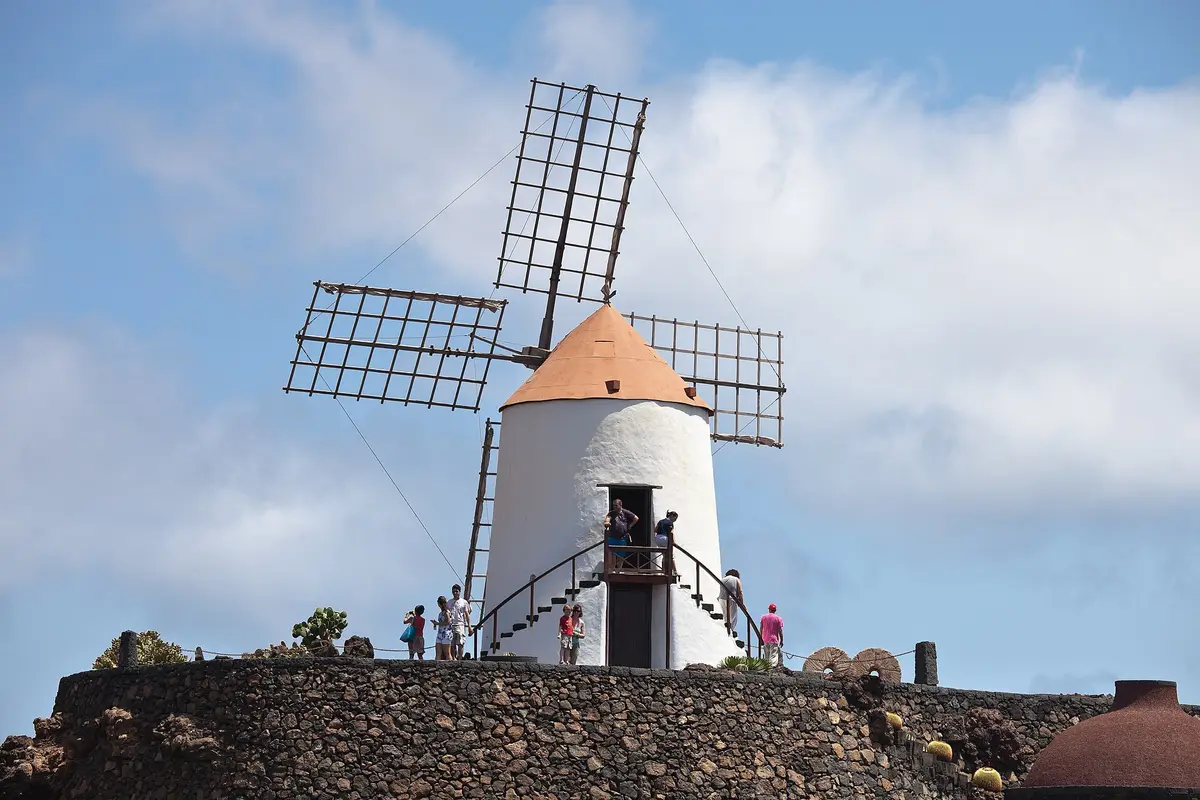
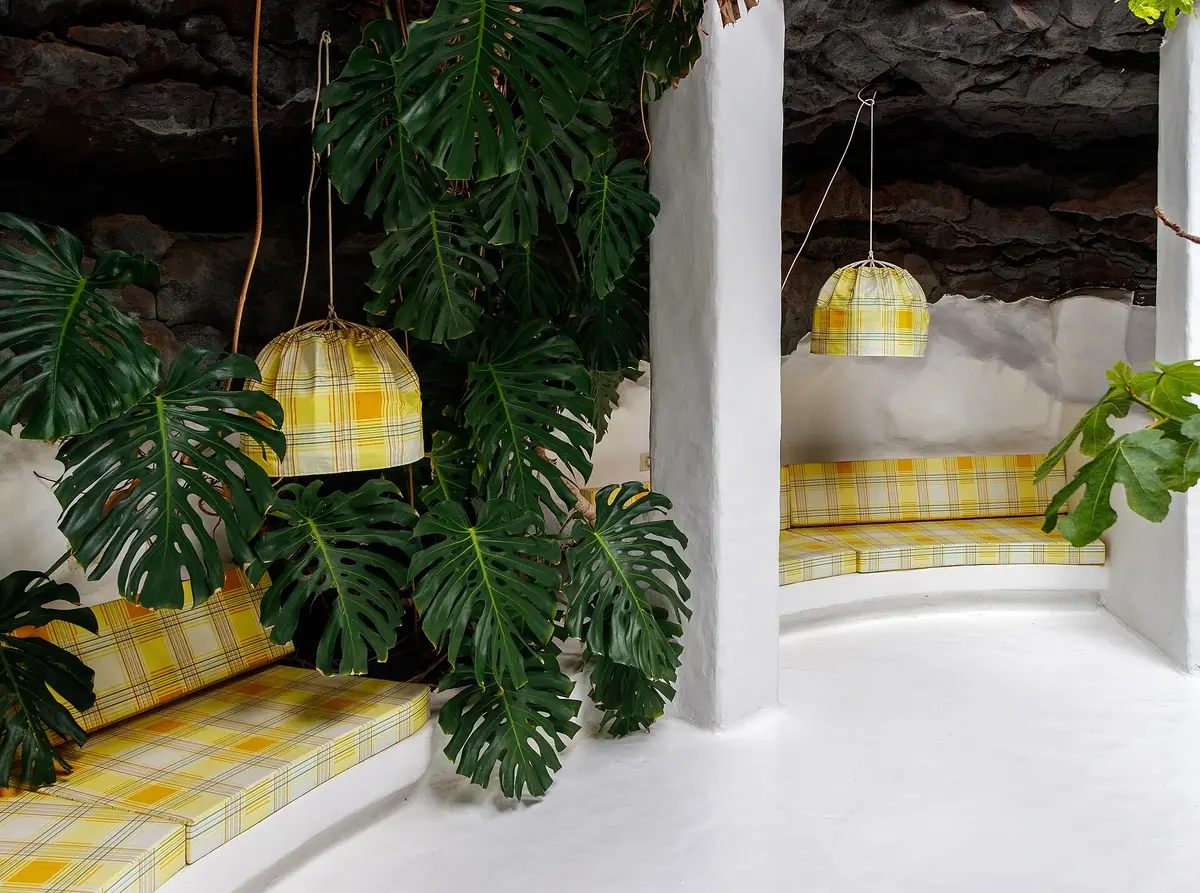
Manrique
Fundación César Manrique
The foundation continuing César Manrique's conservation work on Lanzarote
Museum
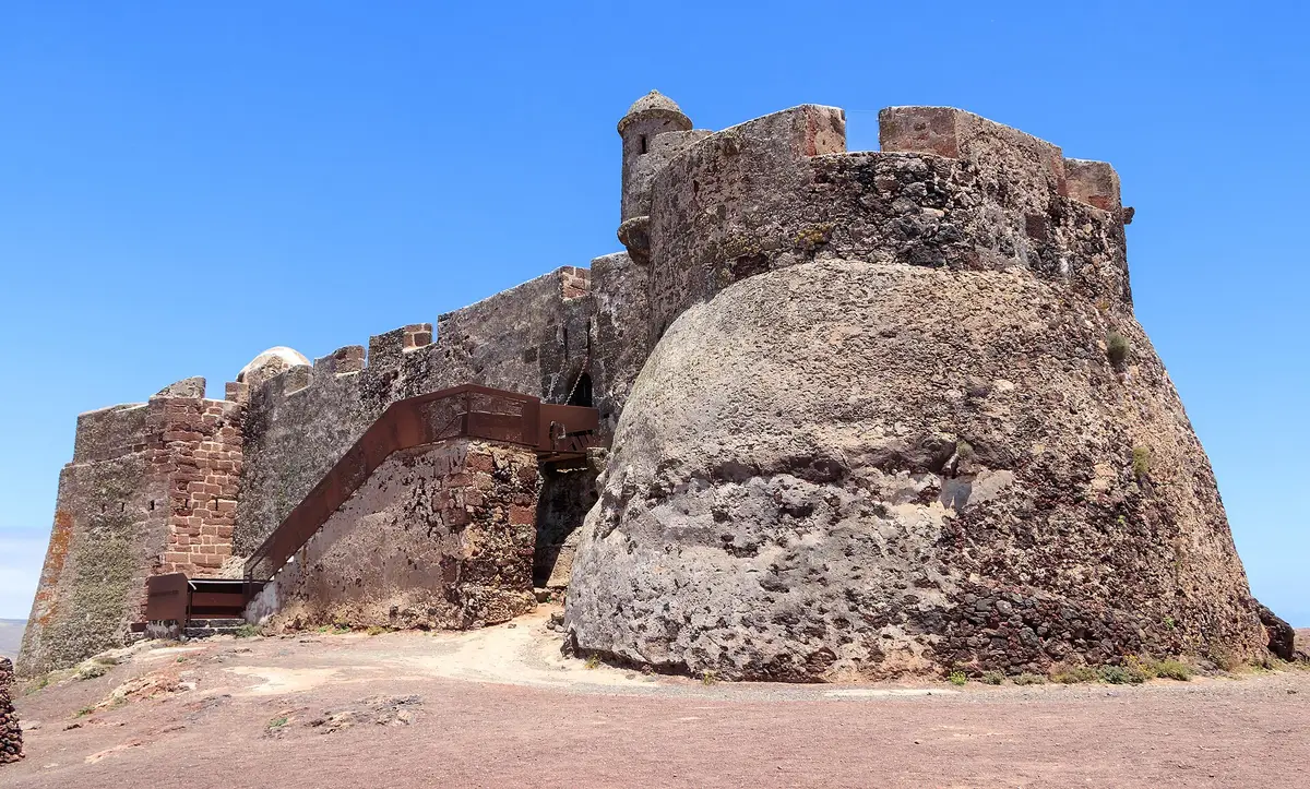
Castillo de Santa Bárbara
A fortress on Guanapay volcano’s crater edge, built to shelter Teguise’s inhabitants and now housing the Piracy Museum