Landscape
Timanfaya National Park
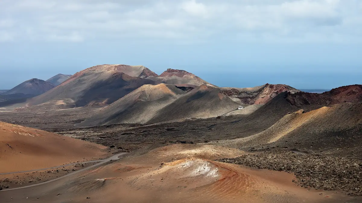
Tour a landscape formed by historic eruptions, where underground heat still turns water into steam
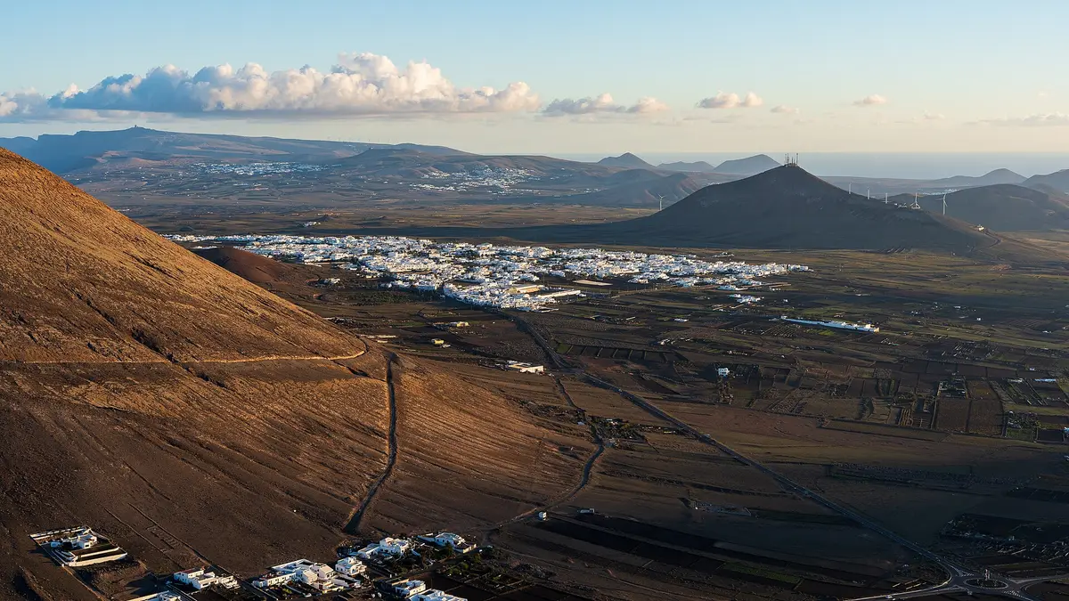
San Bartolomé puts you in the centre of Lanzarote rather than beside the sea. The town stands at 240 metres above sea level, with a working population that includes craftspeople, farmers and tourism-service workers. Its inland location makes it a different stop from the coastal town of Playa Honda, within the same municipality.
San Bartolomé is both a town and the name of a municipality extending from central Lanzarote to the southeastern coast. That distinction matters here: the town itself is inland, while Playa Honda forms part of the municipality’s coastal area, between Arrecife and Lanzarote Airport. The municipality covers 40.89 square kilometres and had a population of 18,816 in 2019; those figures describe the wider area, not just the town.
Craft work, farming and services supporting tourism account for most residents’ employment. Tourism is Lanzarote’s largest economic sector, but San Bartolomé’s working life also connects it to the island’s agricultural and craft economy.
For a visit by road, the clearest connection is the LZ-20, which links the town with Arrecife to the southeast. Across the surrounding island, Teguise lies northeast of the municipality, Tinajo northwest and Tías southwest. San Bartolomé therefore offers an inland stop on a trip out from the capital, while the coast belonging to the same municipality is a separate destination at Playa Honda.
A stay or stop in San Bartolomé town places you at 240 metres above sea level, not on the municipality’s shoreline. The coast lies to the southeast, where Playa Honda sits between the island’s capital and airport. Moving between these parts of the municipality means changing from a central-island setting to a coastal town; they are not interchangeable locations when choosing where to spend time.
Arrecife is the straightforward alternative if being in Lanzarote’s capital is the priority. San Bartolomé instead has the inland position, with the LZ-20 providing the stated road link between them. Teguise, Tinajo and Tías mark the surrounding geography rather than neighbourhoods of San Bartolomé.
The town’s economic character also distinguishes it from a place defined solely by holiday accommodation. Farming and craft work sit alongside employment serving tourism. A visit here is to an inhabited, working town in the island’s centre, while a visit to its municipal coast takes you to Playa Honda.
The LZ-20 is the named road connection between San Bartolomé and Arrecife. For a journey from the capital, it provides a clear approach to the inland town without confusing it with the coastal part of the municipality. The town lies northwest of Arrecife; Playa Honda lies southeast within the municipality, between Arrecife and Lanzarote Airport.
San Bartolomé can be the inland element of a day that also includes the capital or the municipality’s coast. These are separate stops, rather than different parts of a single town centre. The wider municipality’s position also helps place it within an island itinerary: it is southwest of Teguise, southeast of Tinajo and northeast of Tías.
The distinction between town and municipality is particularly useful when checking the location of accommodation or an address. A San Bartolomé municipal address can refer to the coastal area as well as the inland town. The town name alone does not establish that a location is beside the sea.
Craftspeople, farmers and people employed in services for tourism make up most of San Bartolomé’s working population. That mix places the town within Lanzarote’s everyday economy, rather than separating it from the tourism industry that is the island’s largest economic factor. Agriculture and craft employment remain part of the account alongside visitor-related work.
The municipality’s scale is broader than the inland settlement. Its population was 18,816 in 2019, spread across an area of 40.89 square kilometres reaching the southeastern coast. These are municipal figures, so they should not be read as a count of the people living around the town centre.
For travellers, the concrete distinction is geographical: San Bartolomé town occupies the island’s centre at 240 metres above sea level, while Playa Honda occupies the coastal part of the municipality. The road to Arrecife ties the inland town to the capital. Together, these connections explain its position between central Lanzarote’s working communities and the southeastern coastal area.
_02.jpg)
San Bartolomé is in the centre of Lanzarote, northwest of Arrecife, at 240 metres above sea level. The LZ-20 connects the town with the capital. Its municipality extends beyond the inland town to the southeastern coast, including Playa Honda between Arrecife and Lanzarote Airport.
The town of San Bartolomé is inland, but its municipality reaches the coast. Playa Honda is the coastal town within that municipal area, southeast of San Bartolomé and between Arrecife and Lanzarote Airport. When choosing a location, distinguish the central-island town from the wider municipality rather than treating them as the same destination.
The LZ-20 road connects Arrecife with San Bartolomé, which lies northwest of the capital. This is the direct geographical link for a road-based visit to the inland town. Playa Honda belongs to the same municipality but occupies a different, coastal location, so it should not be confused with San Bartolomé town.
San Bartolomé is both an inland town and a municipality. The municipality covers 40.89 square kilometres and includes the coastal town of Playa Honda. Its recorded population of 18,816 in 2019 applies to that wider area, not solely to the town in the centre of Lanzarote.
Keep going
Tour a landscape formed by historic eruptions, where underground heat still turns water into steam
A subterranean salt lake and lava openings form the setting for César Manrique's cultural centre
Enter a drained lava tube with illuminated cave walls and a concert hall near its entrance