Landscape
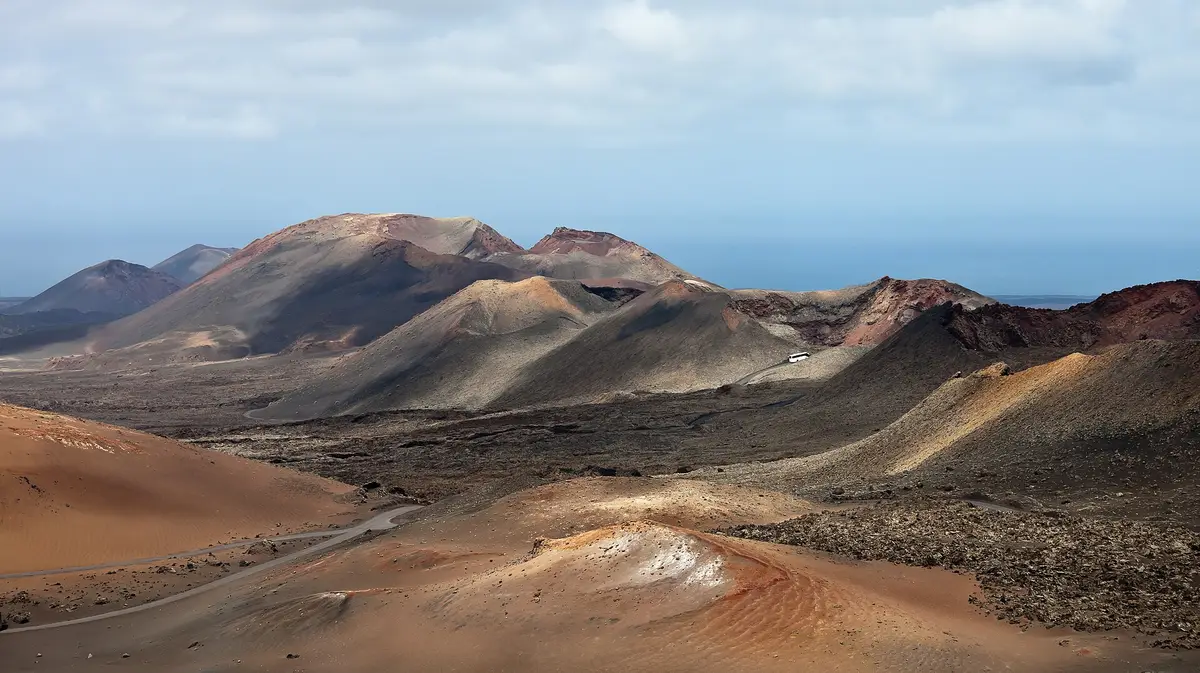
Timanfaya National Park
Tour a landscape formed by historic eruptions, where underground heat still turns water into steam
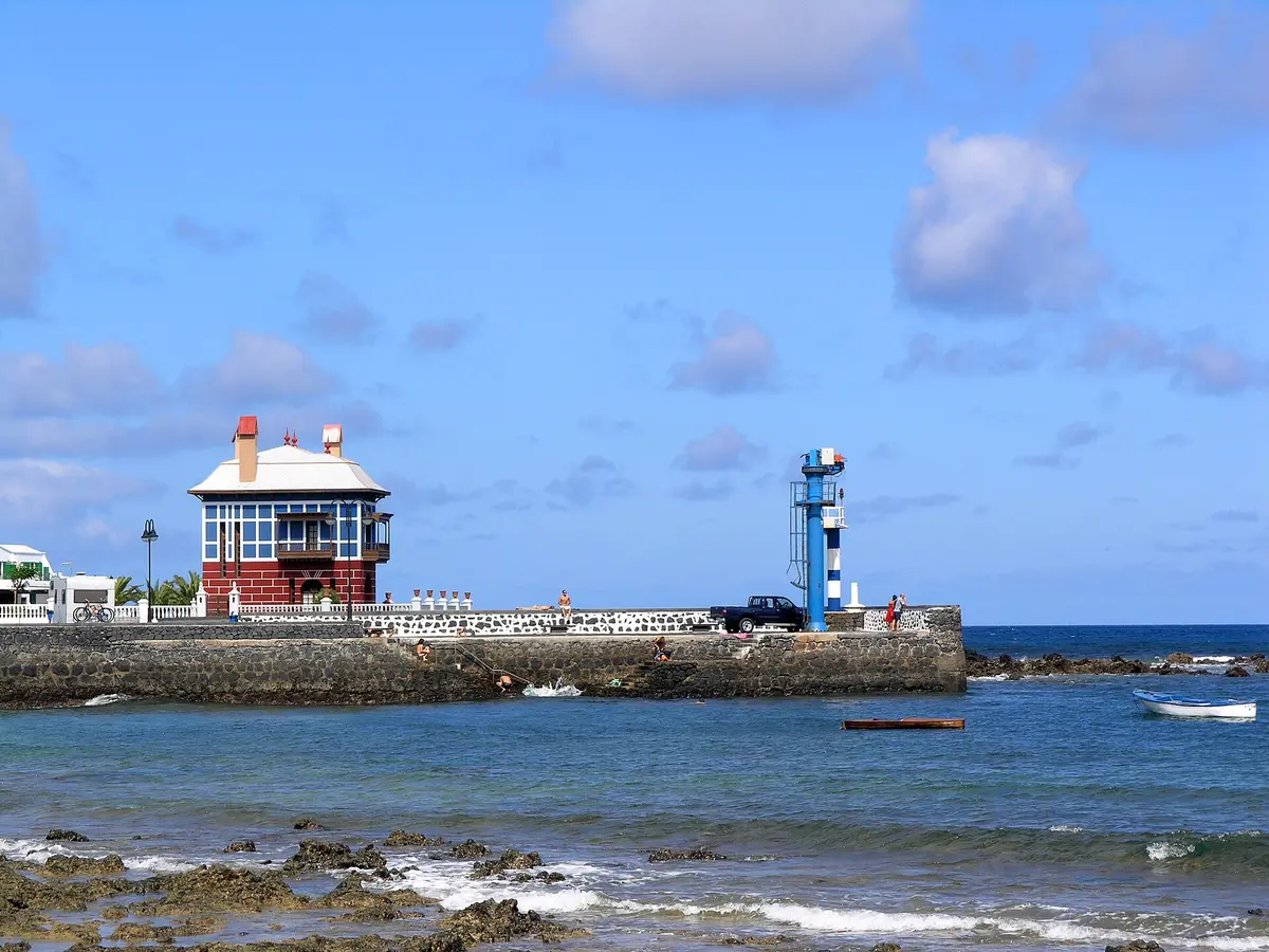
Arrieta grew from a fishermen's anchorage on the northern coast of Lanzarote, in the municipality of Haría. Today, its shoreline gives visitors a choice between La Garita's long strip of sand and pebbles and the much smaller Charcón beside the village pier. The beaches are the main reason to linger.
La Garita lies south of the village, with sand and pebbles extending along a beach 810 metres long and about 10 metres wide. Those proportions are its defining feature: this is a long, narrow shoreline rather than a broad expanse of sand. A walk along the water follows the length of the beach, with pebbles interrupting the sandy surface.
Wind is a persistent feature here, even though the water generally remains calm. The distinction matters for a beach stop: relatively quiet water does not necessarily mean still air on the sand. Conditions on arrival should guide any decision to swim, rather than the beach's general reputation for calm water.
Compared with the Charcón at the village pier, La Garita offers much more shoreline for walking or choosing somewhere to sit. Its position south of the village also separates the longer beach from the small pier-side bathing spot. For a visit centred on sand and a shoreline walk, La Garita is the more practical choice.
At the foot of the village pier, the Charcón is a beach of sand and rock just 15 metres long. Its water is generally very calm, and its compact shore contrasts with the extended strip at La Garita. The pier is the clear landmark here: this beach sits directly beside village infrastructure rather than stretching along the coast to the south.
Arrieta began as an anchorage used by fishermen. Its name is attributed to Arriete Preud'homme, a French nobleman and governor of Lanzarote whose surname was rendered in Spanish as Perdomo. He married Margarita de Bethencourt, daughter of Maciot and the Guanche princess Teguise. That account connects the village's name with a person, rather than with a feature of the beach or coastline.
The recorded population was 897 in 2016, giving a dated measure of the settlement's scale rather than a current headcount. The physical focus of a visit remains straightforward: the village shoreline, the pier and its small beach, with the longer La Garita to the south.
The contrast between Arrieta's beaches is mainly one of scale and surface. La Garita combines sand with pebbles along a lengthy but narrow strip; the Charcón combines sand with rock in a much smaller space at the pier. Neither is described by its sand alone, so the changing ground underfoot is part of visiting either shore.
For walking, La Garita's 810-metre length gives it the clear advantage. The Charcón's 15-metre shore is better understood as a compact place to pause beside the water than as a beach for an extended stroll. Visiting both brings the village's coastal layout into focus, from the pier-side beach to the longer shoreline south of the settlement.
Calm water is a characteristic shared by these beaches, but La Garita also has persistent wind. A day here can therefore feel breezy on land even when the sea looks relatively quiet. Swimming decisions still depend on the conditions at the time; neither description amounts to a guarantee of safe bathing.
Arrieta belongs to the municipality of Haría and sits in the north of Lanzarote. Its beginnings as a fishermen's anchorage explain the maritime thread running through its history, while the pier and neighbouring Charcón give a present-day visitor a concrete coastal landmark to head towards. The longer beach, La Garita, lies south of the village rather than at the foot of that pier.
The settlement's history and its beach geography are closely linked, but they offer different reasons to stop. Someone interested in the name encounters the story of Arriete Preud'homme and the Spanish form of his surname, Perdomo. Someone arriving for the shore finds a choice between a compact sand-and-rock beach and a longer sand-and-pebble strip.
There is no need to turn the historical association into a claim that the governor built the village or its pier. What distinguishes Arrieta in the account of its origins is the fishermen's anchorage; what shapes a visit today is the relationship between the village, the pier and the beaches.

Arrieta is in northern Lanzarote, within the municipality of Haría. It is a coastal village that originated as a fishermen's anchorage. Its main shoreline features are the village pier, the small Charcón beach at its foot and La Garita, a longer beach lying south of the village.
Arrieta has a long sand-and-pebble beach at La Garita and a small sand-and-rock beach at the Charcón. La Garita measures 810 metres long and about 10 metres wide, while the Charcón is just 15 metres long. La Garita suits a longer shoreline walk; the Charcón sits immediately beside the village pier.
The water at La Garita is generally calm, and the Charcón is also known for very calm water. La Garita nevertheless experiences persistent wind, so conditions on the beach can feel different from the appearance of the sea. Check the water and any local warnings on arrival before deciding to swim.
Arrieta's name is attributed to Arriete Preud'homme, a French nobleman and governor of Lanzarote. His surname became Perdomo in Spanish. He married Margarita de Bethencourt, daughter of Maciot and the Guanche princess Teguise. The village itself originated as an anchorage used by fishermen, rather than as a purpose-built beach resort.
Keep going
Tour a landscape formed by historic eruptions, where underground heat still turns water into steam
A subterranean salt lake and lava openings form the setting for César Manrique's cultural centre
Enter a drained lava tube with illuminated cave walls and a concert hall near its entrance